Engineering Geophysics
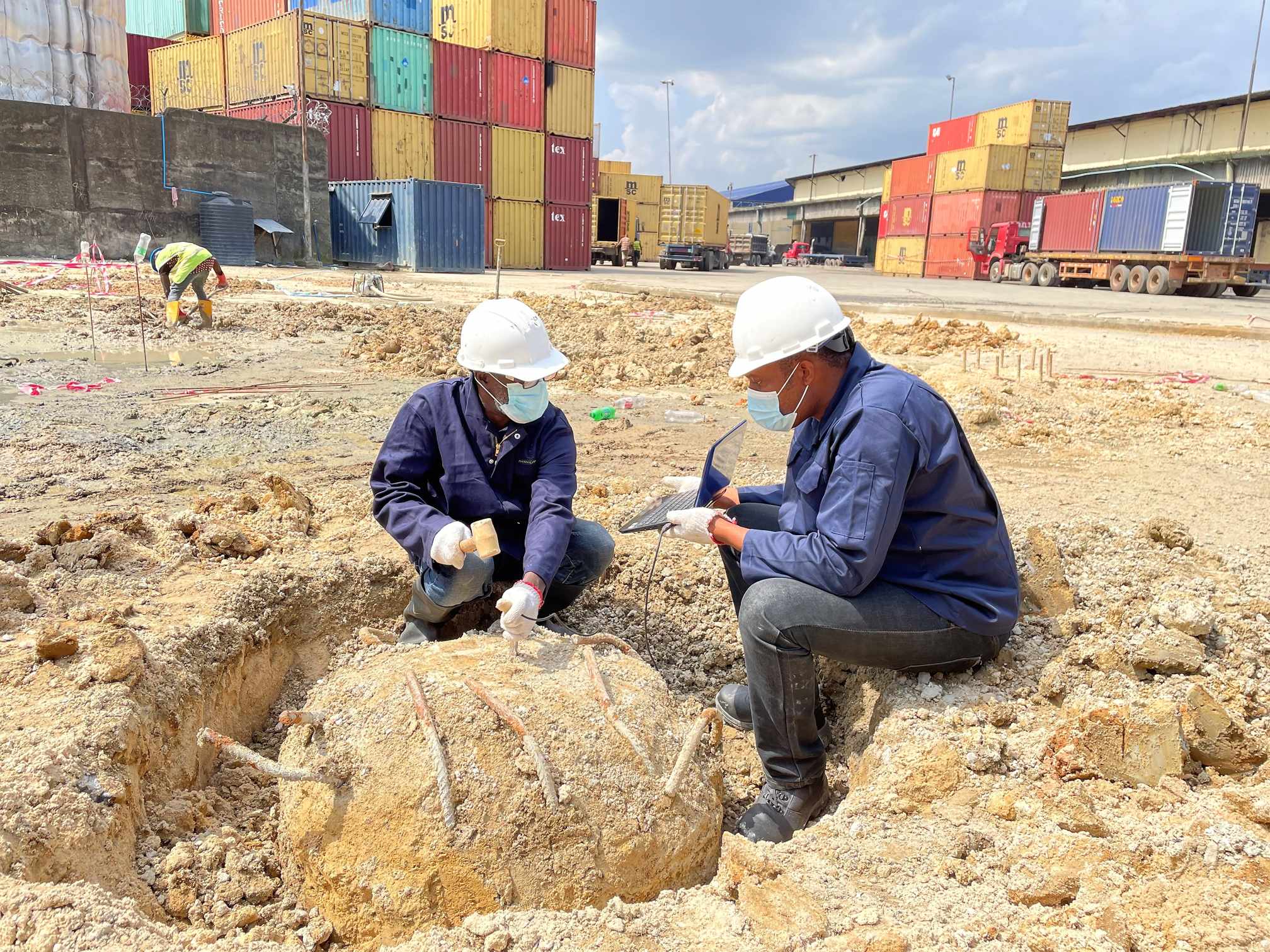
Shiwinis specializes in Engineering and Environmental Geophysics, offering innovative solutions to address the unexpected challenges encountered in engineering projects. Our geophysical surveys provide invaluable insights into subsurface rock properties, complementing traditional point data collected by engineers.
Our Geophysics Services include:
-
Ground Penetrating Radar (GPR)
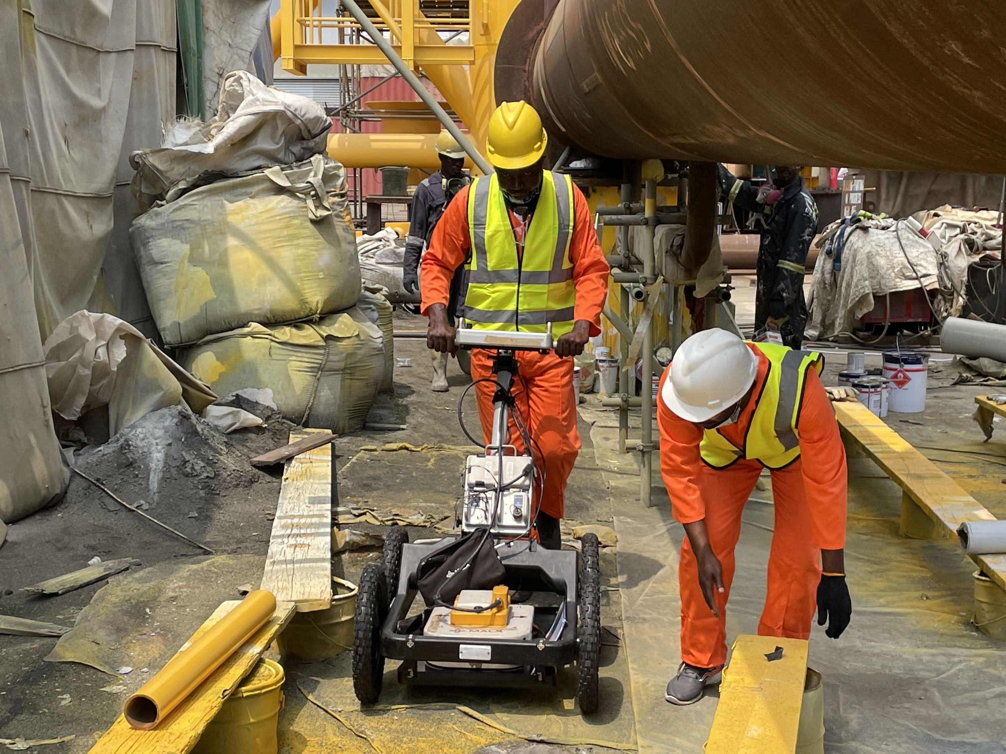
Our GPR surveys offer versatile medium inspection capabilities, aiding various project operations by swiftly and accurately locating cracks, voids, buried pipes, cables, and other hazards in concrete and subsurface mediums. This non-invasive approach ensures asset integrity is maintained without disrupting ground surfaces.
-
Underground Utility Mapping
We provide reliable underground utility detection and mapping services essential for brownfield projects. By delivering up-to-date information on underground infrastructure, we help minimize project delays, reduce risks, and enhance safety for all stakeholders involved.
-
Soil Resistivity Survey
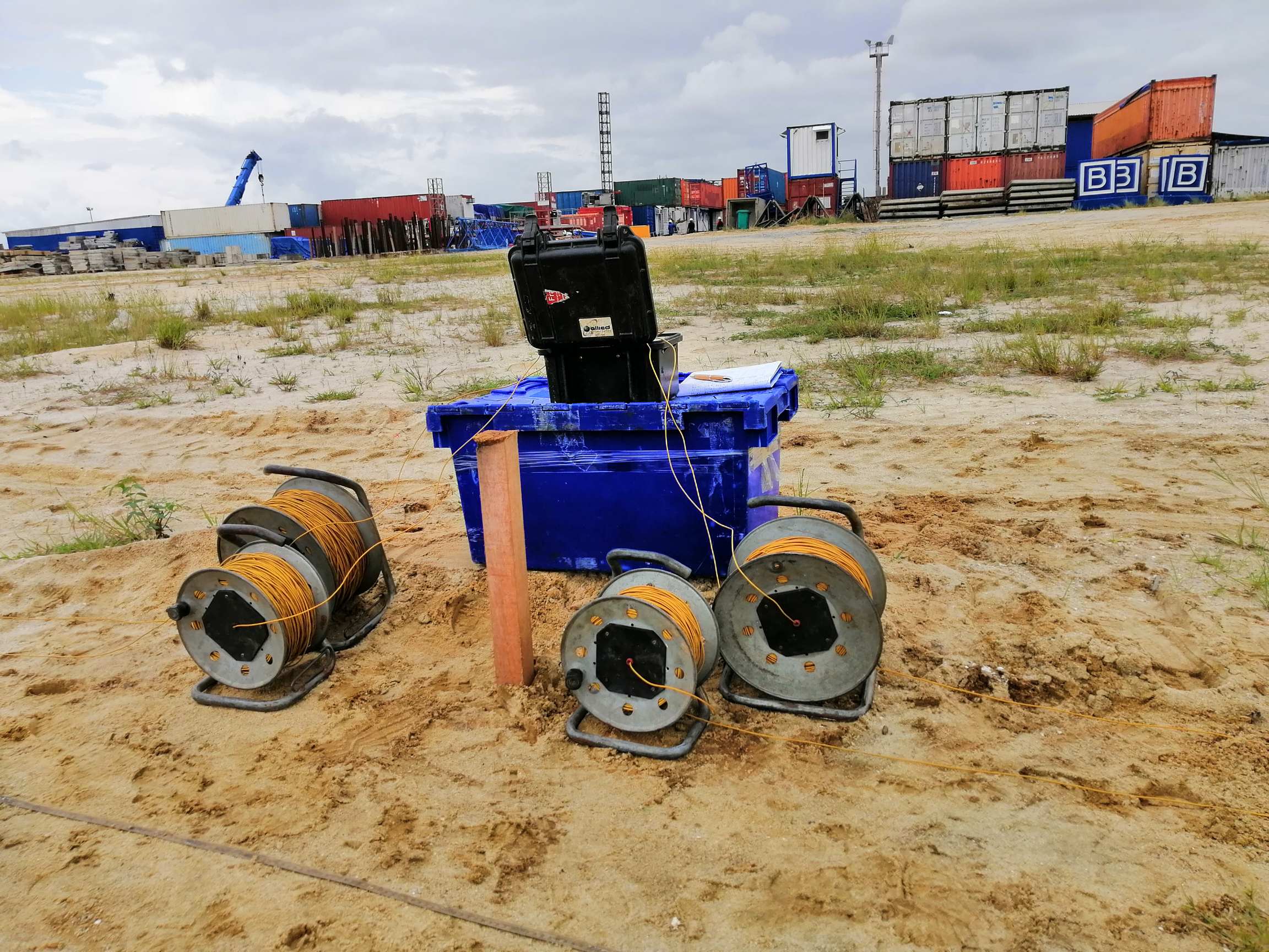
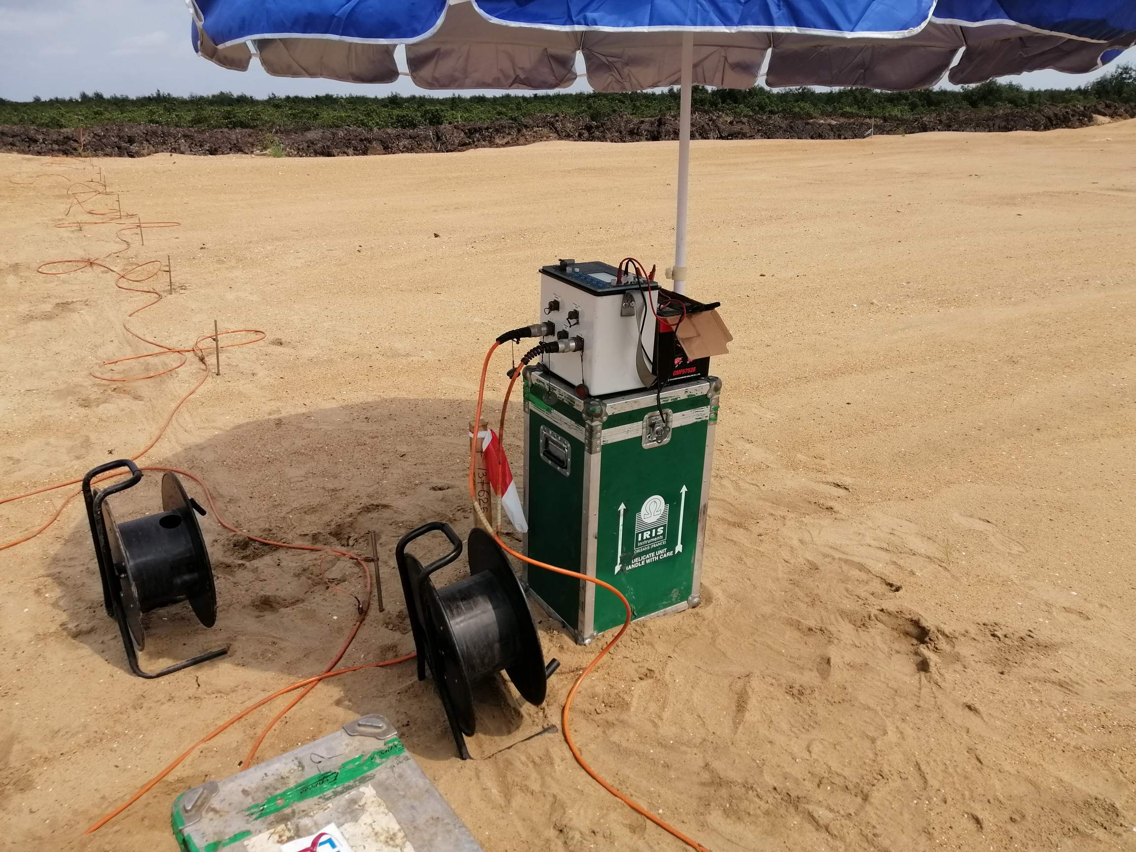
Our experts conduct soil resistivity surveys to facilitate the design of grounding systems, water prospecting, and assessment of cathodic protection system lifespan. Accurate measurements help mitigate risks associated with grounding and pipeline corrosion.
-
Pile Integrity Tests
Using low strain impact integrity testing methods, we assess the integrity of cast piles, drilled shafts, or driven concrete/timber piles. Test results are meticulously analyzed to identify defects, estimate their magnitude and location, and determine pile length as per project requirements.
-
Electrical Resistivity Imaging (ERI)
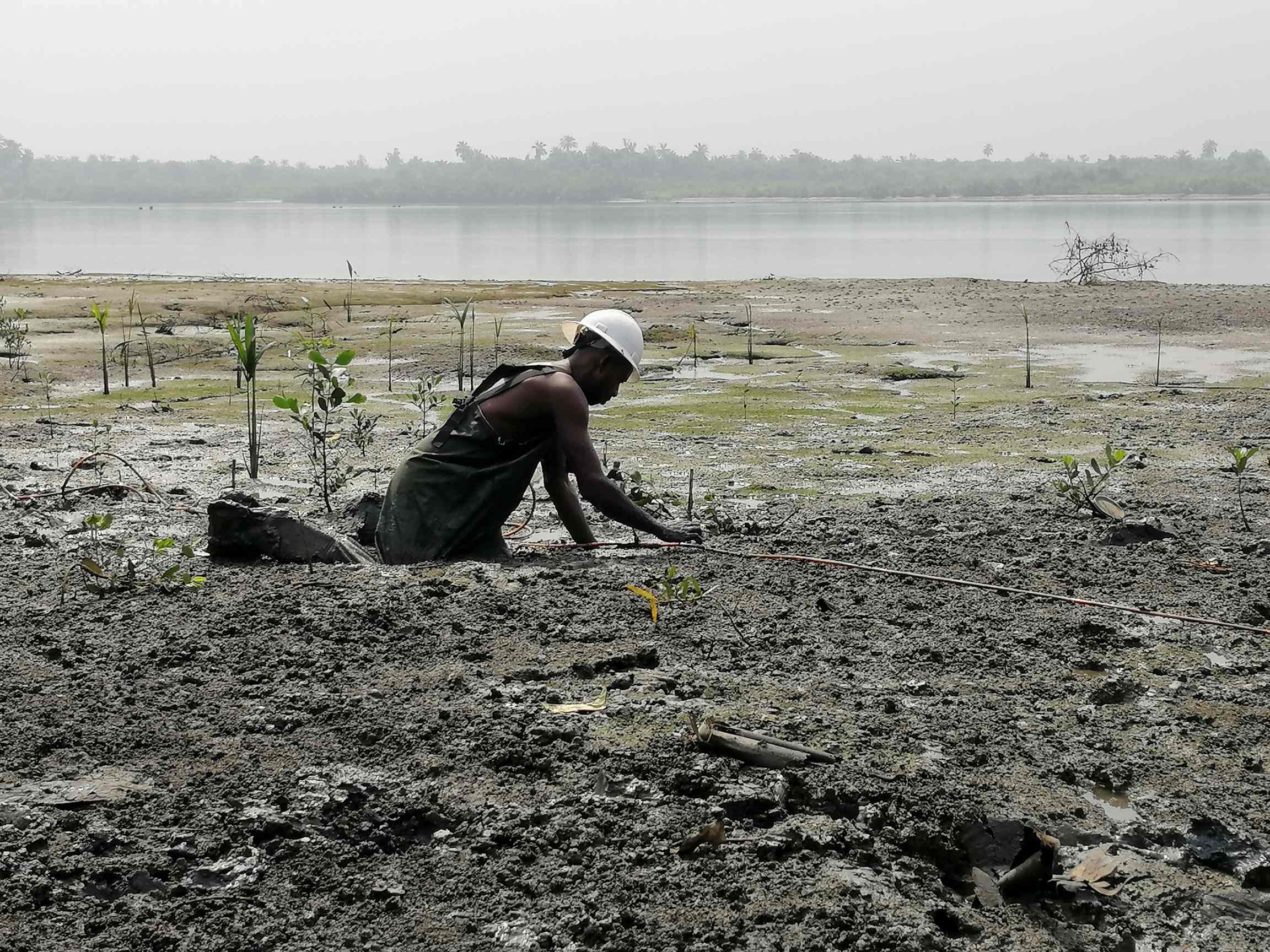
ERI is employed to investigate crucial sites and obtain information on weak zones, buried channels, and underground water resources. Our team utilizes ERI effectively for mineral prospecting, bedrock quality assessment, and contamination soil layer detection.
-
Electromagnetic Surveys (EM)
EM surveys are conducted for various applications including reconnaissance and detailed ground investigations. By detecting buried metallic objects, mapping contaminants, and exploring minerals, EM surveys contribute significantly to project planning and execution.
-
Cavities and Void Detection
We specialize in identifying subsurface voids and cavities resulting from washouts, settlement gaps, and underground structures. This helps mitigate risks associated with infrastructure stability and ensures safe project execution.
-
Borehole Seismic (CST and DST)
Cross-hole and downhole seismic tests are conducted to measure shear and compression wave velocity profiles in soil and rock. These tests provide crucial data for site development, dynamic machine foundation designs, and liquefaction potential studies.
-
Surface Seismic (Seismic Refraction and MASW)
Our surface seismic surveys involve deploying shots and recording data via sensors to create velocity models of the subsurface. This information aids in understanding sediment compaction, saturation levels, and bedrock strength, essential for project planning and design.
For cutting-edge geophysical solutions tailored to your project needs, contact Shiwinis Integrated Services Limited.
Shiwinis Integrated Services Limited
Interested in this service?