Land & Hydrographic Surveys


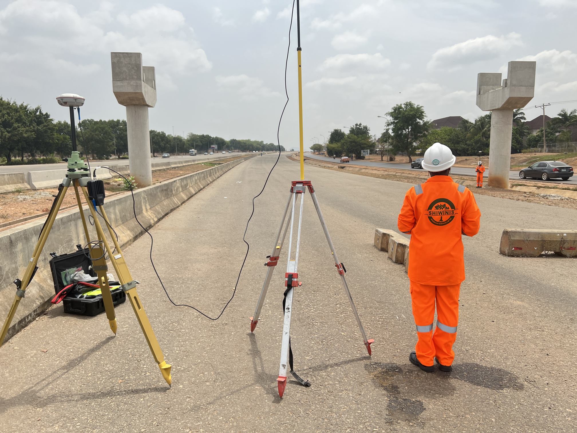
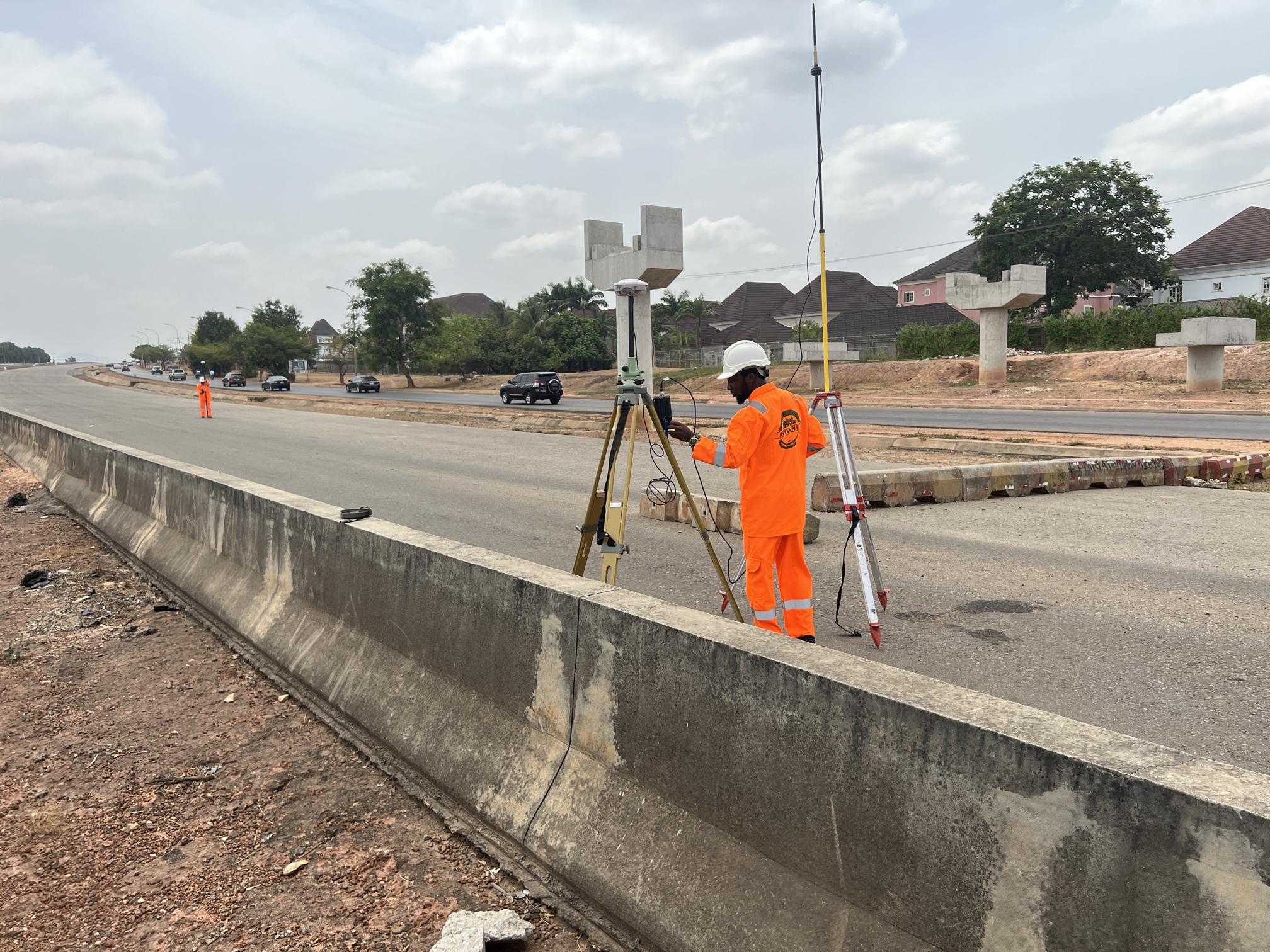
Our surveying team comprises seasoned experts with extensive experience in various fields, including topographical surveys, laser scanning, hydrographic surveys, and drone services. Specializing in pipeline surveys, mining surveys, and 3D laser scanning & BIM modeling, we offer comprehensive solutions tailored to meet your project requirements.
Our survey services include:
-
Topographical Surveys
We provide topographic services to help clients assess features, elevations, and slopes at sites, ensuring suitability and feasibility for intended use.
-
Cadastral Survey
Our cadastral survey safeguards clients' property rights by registering land information on cadastral records, providing public verification of cadastral information such as land location and area.
-
Drone Surveys
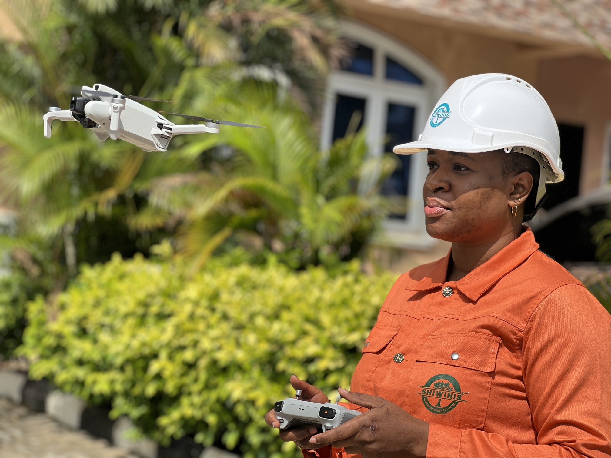
Integrating precision surveying with cutting-edge UAV technologies, our drone surveys offer accuracy, safety, and affordability. UAV technology streamlines data collection, reducing project duration from weeks to days.
-
Measured Building Surveys
Our measured building surveys map internal and external structures, delivering various outputs from basic floor plans to detailed 3D building models.
-
3D Laser Scanning
Utilizing advanced 3D laser scanning technology, we capture detailed data at high speeds, producing precise models. The final deliverable can be published in Trimble Realworks Viewer format, enabling easy extraction of coordinates and distances from point cloud data.
-
Mining and Quarry Surveys
Our surveys map entire quarry and mine sites, profile rock faces, and conduct blast analyses. They facilitate mineral extraction quantity calculation, earthworks volume verification, and compliance with planning restrictions.
-
Route Mapping
We offer route survey services, covering reconnaissance & planning, works design, right of way acquisition, and construction, ensuring efficient project execution.
-
Hydrographic Survey
Our hydrographic surveys provide accurate data crucial for water-dependent engineering projects such as dredging, port development, and environmental remediation. Services include condition surveys, side-scan sonar surveys, and pre and post-dredge surveys.
With our diverse range of services and commitment to excellence, Shiwinis is your trusted partner for all surveying needs.
Shiwinis Integrated Services Limited
Interested in this service?